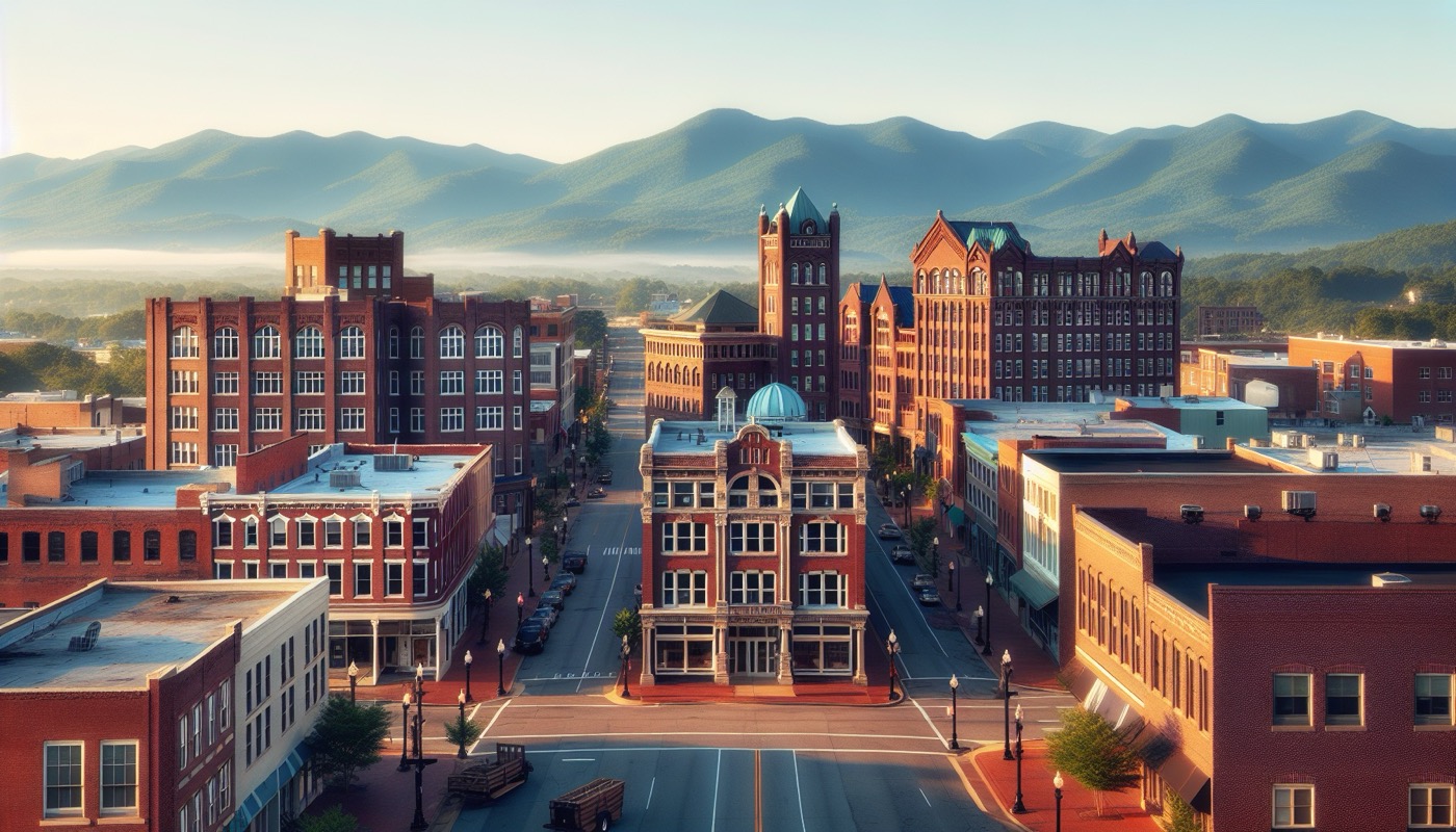
Roanoke is Virginia's largest Blue Ridge metropolitan area — an independent city of about 100,000 at the heart of a 300,000+ population valley metro. Shaped by 19th-century railroad development (the Norfolk & Western / Norfolk Southern) and mid-century industrial manufacturing, the city has undergone substantial downtown redevelopment over the past two decades. Permitting runs through the Department of Planning Building and Development, with the Planning Commission (advisory) and City Council (decision) for discretionary review.
The consolidated department administers:
The city's online permit portal handles intake. Roanoke's zoning ordinance uses a mix of residential, commercial, industrial, and mixed-use districts with downtown form-based overlays in the Central Business District.
The Roanoke Architectural Review Board (ARB) reviews exterior alterations in designated H-1 (Historic) and H-2 (Neighborhood Preservation) districts. Substantial districts include:
Certificates of Appropriateness are required before building permits issue for regulated work in these districts.
Roanoke's distinctive downtown — centered on the City Market, the Hotel Roanoke, and the Norfolk Southern Virginia Division headquarters — has been the focus of substantial redevelopment:
Railroad-legacy industrial parcels across the city carry brownfield considerations — coordination with Virginia VRP and federal CERCLA BFPP framework is common.
The Roanoke River runs through the city; the Roanoke River Flood Reduction Project (FRP, a Corps-state-city partnership) has substantially reshaped river engineering through the urban core. Floodplain construction considers:
Roanoke is not within the Chesapeake Bay Preservation Area — the Roanoke River drains to Albemarle Sound, not the Bay. CBPA does not apply.
Adjacent Roanoke County surrounds the city and contains much of the regional suburban and commercial development. Roanoke County is a separate Virginia county with its own Department of Community Development and permit authority. Projects cross the city-county boundary carefully — each jurisdiction has its own zoning, SLDO, and ordinance.
Other independent cities in the metro: Salem (immediately west of Roanoke City) and Vinton (a town in Roanoke County, east of the city).
The Blue Ridge Parkway (federal NPS) passes along the ridge south and east of the city. Projects with federal nexus affecting Parkway viewshed may trigger Section 106 and NPS coordination.
The Appalachian Trail crosses the metro area in Roanoke County / Botetourt County; federal AT Conservancy coordination applies to adjacent projects with federal nexus.
I-81 runs parallel to the valley. VDOT is the primary road authority. The Roanoke Valley Transit Company (Valley Metro) operates city bus service. Amtrak service returned to Roanoke in 2017 (the Northeast Regional extension). Roanoke–Blacksburg Regional Airport (ROA) serves regional commercial aviation, with FAA Part 77 / 7460 considerations for tall structures in vicinity.
Three practical rules for Roanoke:
Roanoke's combination of Virginia USBC uniformity, strong historic preservation, railroad-legacy brownfield pattern, and Blue Ridge context produces a permit environment structurally familiar from other VA independent cities but with Western-Virginia-specific considerations.
Primary sources for this essay: Roanoke City Code (Zoning Ordinance, Subdivision Ordinance, Historic Preservation Ordinance); Virginia USBC (13VAC5-63); Virginia Code Title 15.2 Chapter 22; Virginia Voluntary Remediation Program; Roanoke River Flood Reduction Project documentation; Roanoke Comprehensive Plan. The Roanoke Department of Planning Building and Development and ARB are the agency resources.